
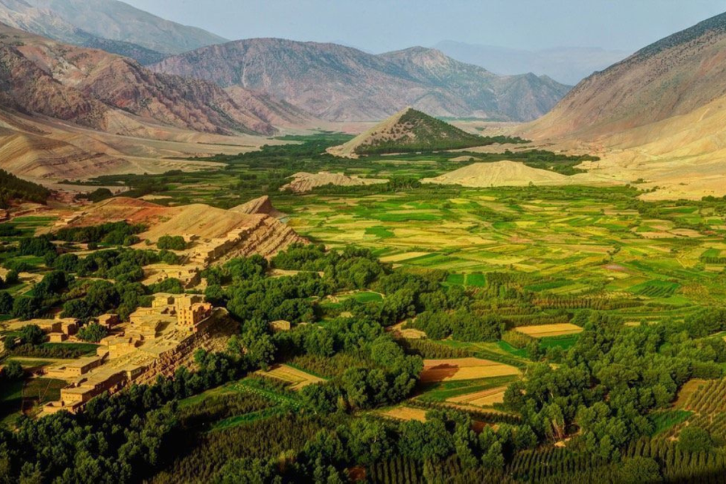
Ait Bouguemez is a high, flat-bottomed valley in the central High Atlas, ringed by peaks of more than 3,000 meters. Its fields, walnut trees and earthen villages earned it the nickname “the Happy Valley”. It remained without a paved road until the early 2000s and still feels remote. This Ait Bouguemez travel guide covers what to do there and how to reach it.
Ait Bouguemez at a Glance
- Altitude: around 1,800 to 2,000 meters.
- Best for: walking, trekking, rural life far from the tourist circuit.
- How long: two nights at least, given the journey.
- Best time: May to October; spring for green fields, autumn for harvest colors.
What Makes the Valley Special
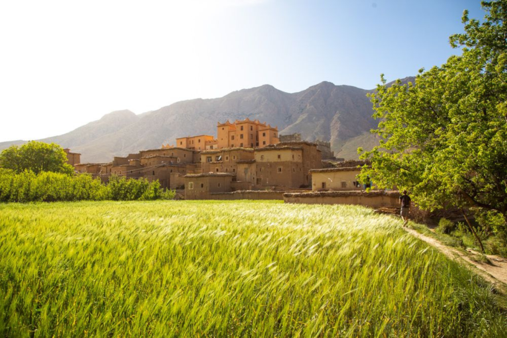
The valley floor is a carpet of small irrigated plots: barley, potatoes, alfalfa and apple orchards, divided by lines of poplars and walnut trees. Some thirty villages of stone and rammed earth sit on the lower slopes, built just above the precious farmland. Farming is still done largely by hand and with mules, and the rhythm of the day follows the fields.
Things to Do
Walk from Village to Village
The valley is nearly flat, so walking is easy. Paths and farm tracks along the irrigation channels link the villages, and a half-day loop gives a good picture of daily life. Cycling is another good option.
Climb to the Granary of Sidi Moussa
A round, fortified communal granary crowns a conical hill in the middle of the valley. It also holds the tomb of a local saint. The climb takes about half an hour, and the view from the top takes in the whole valley and the mountains around it.
See the Dinosaur Footprints
On a tilted rock slab beside one of the villages, a line of fossilized footprints records the passage of dinosaurs across what was once a muddy shore. Local children will point the way.
Visit the Weekly Market
Tabant, the main village, holds a souk once a week, traditionally on Sundays, when people from the whole valley and the high pastures come to trade.
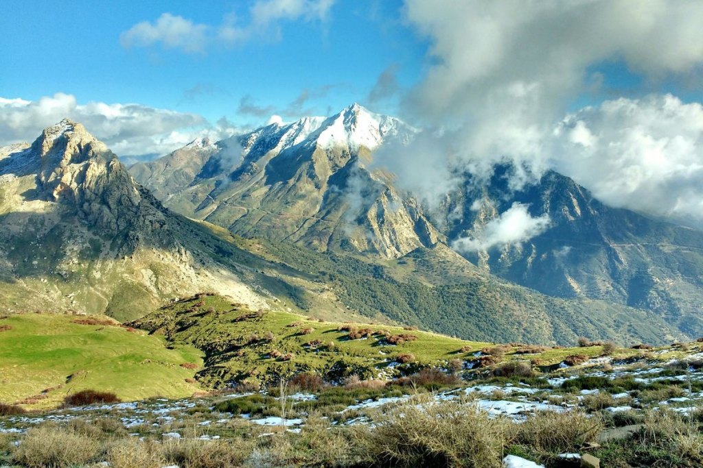
Trek in the M’Goun Massif
Ait Bouguemez is the main base for trekking in the M’Goun range, whose highest summit rises above 4,000 meters. Routes of several days cross high passes, plateaus and river gorges, with nights in village homes or tents. For anything beyond valley walks, hire a licensed mountain guide; guides and muleteers are easy to arrange locally. Trekkers interested in North Africa’s highest peak should see our guide to the Toubkal trek.
How to Get There
The valley is reached from the town of Azilal by a winding mountain road of about 80 kilometers over a high pass. From Marrakech, the whole journey takes four to five hours by car. By public transport, take a bus to Azilal and then a shared minibus or taxi into the valley; departures are few, so start early. The route passes within reach of the lake of Bin El Ouidane, which makes a good stop.
Snow can block the pass for short periods in winter.
Where to Stay
Accommodation is in family-run gîtes and small lodges, usually with dinner and breakfast included. Comfort is simple, the welcome is warm and the food is home-cooked. A few more comfortable eco-lodges have opened in recent years.
Practical Tips
- Bring all the cash you need; the last ATMs are in Azilal.
- Nights are cold at this altitude, even in summer. Pack warm clothing.
- Phone and internet coverage is patchy.
- This is a conservative rural area. Dress modestly and always ask before photographing people.